


DOG MONITORING
This page provides programs designed to use an Android smartphone to help monitor roaming dog populations. The system uses existing apps available for free from the Play Store.
Conservation Research Ltd and its associates offer consultancy services to set-up, train and equip local organizations with all they need to conduct roaming dog population density and welfare monitoring. This includes developing monitoring routes, training local teams in best practice survey techniques and setting-up databases, mobile phone apps and protocols to ensure monitoring can continue in the long term and hence support future impact assessment of dog management interventions. Please see here for more information on our services and examples of past work.
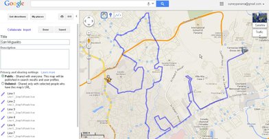
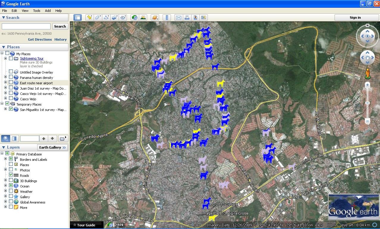
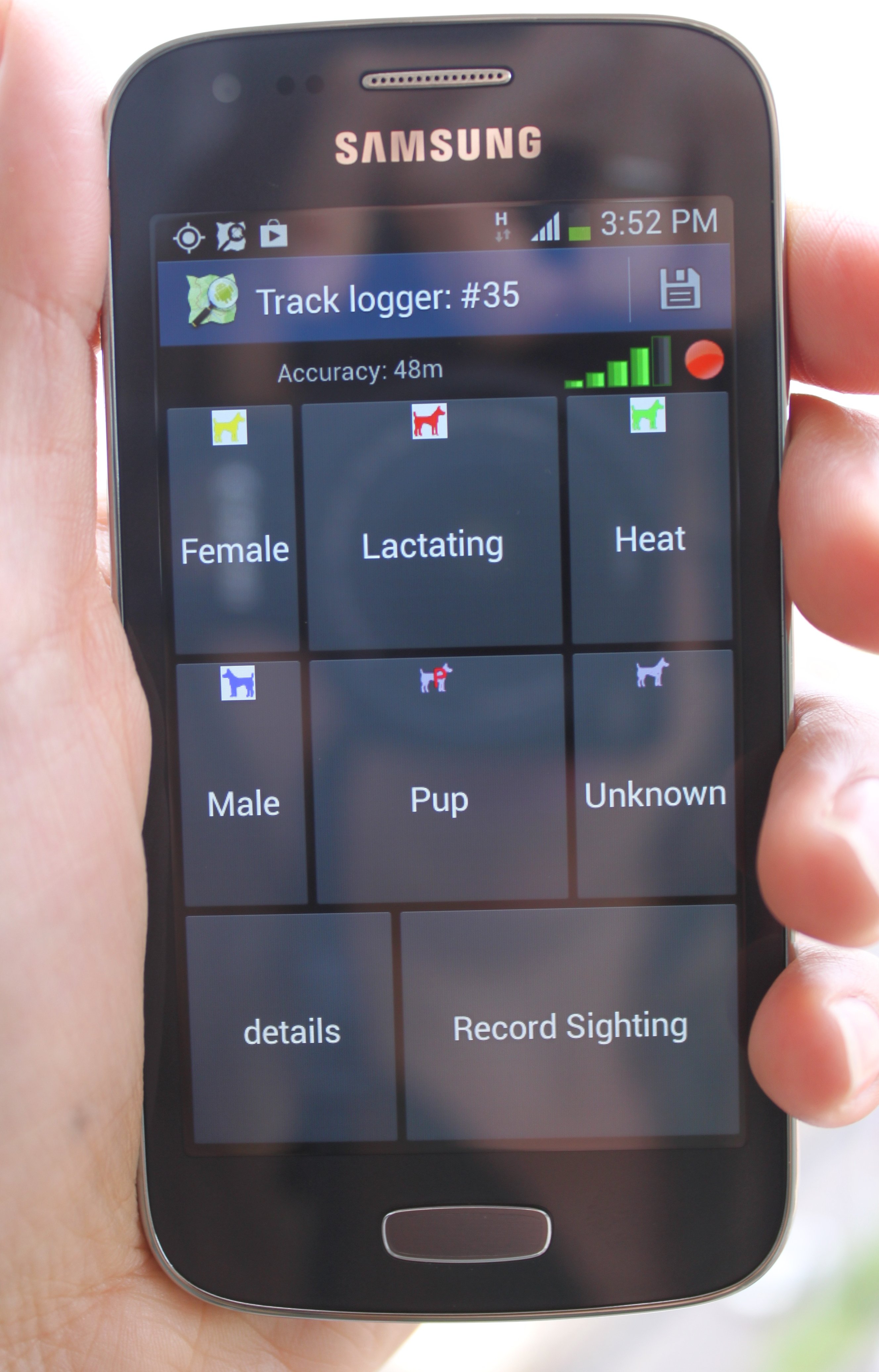
The "UsageNotes.pdf " download explains how to use the system to record dogs of different types seen along one or more standard routes across the city and hence monitor their average density (dogs seen per km). Dogs seen per km relates well to the roaming dog "problem" as perceived by residents of the city because it gives the expected number of dogs encountered while travelling to work or school. The records are imported into an offline "DogDensity.mdb" Access database, which also holds details of the routes and survey protocols. The database will display any change in density observed along a route over successive surveys and generate maps of the sighting locations.
Unzip the DogDensity.zip download to your hard drive to create a DogDensity folder containing the database file and a number of subfolders, then open the "SmartPhoneAccess_install.zip" download and double-click on "Setup.exe" to install a small "SmartPhoneAccess" program. During the installation process please use the "Change Directory" dialog to install that program to the DogDensity folder.
CONSERVATION RESEARCH LTD
Copyright © All Rights Reserved